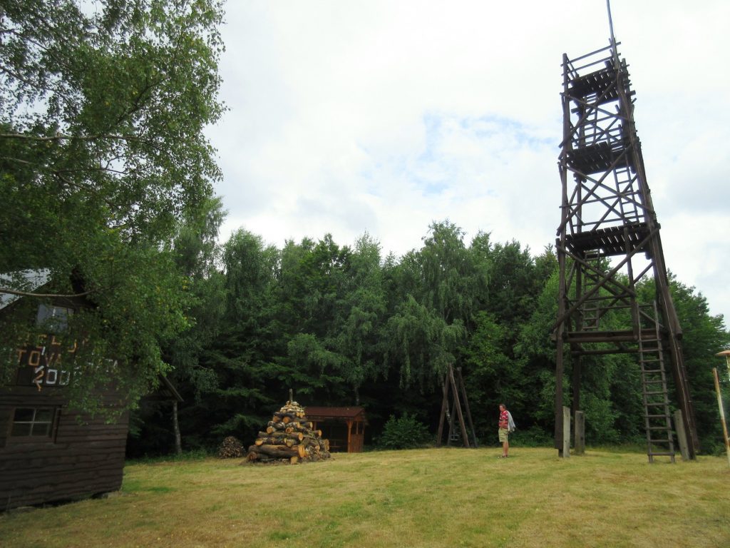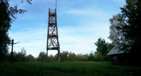
Obserwatory tower Rohuľa
Mt Rohuľa (595.6 m above sea level) is in the Ondavská Highlands range in the Low Beskid. It is situated near Svidník between localities: Nižná and Vyšná Jedľová, Belejovce, Kružlová and Kapišová. A tourist shelter can be found near the vantage point, which can be used when the weather is bad, and in special situations also to stay overnight.
The route up to Rohuľa
The red tourist marked trail (TZT) leads from Svidník to the village Nižná Jedľová towards the inter-section with the blue trail. Form here the blue TZT leads to the van-tage point on Rohuľa. From Rohuľ a the trail leads to Belejovce (463 m above sea level), and further on a meadow to Vápenickie sedlo (503 m above sea level), where the blue TZT meets the green TZT. The blue TZT leads further on to the village of Vápeník (448 m above sea level), where it ends.
More informations:
Photos: